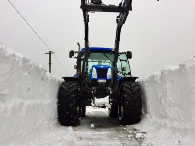
Weather forecasters are predicting that a seriously cold snap is set to strike us next week.
‘Siberian winds’ are set to bring ‘significant snowfall’ from Sunday onwards – right up as far as Wednesday at the earliest.
According to local weather forecaster Cathal Nolan, heavy snow is likely in Laois with temperatures dropping as low as -10 at night.
Mr Nolan, of Ireland’s Weather Channel, said: “From the weekend onwards Ireland will enter into a period of unusually cold weather, with winter hazards such as very low temperatures, severe frost, ice and heavy snow becoming common across many areas of the country.
“As such this severe weather advisory will take a look at the current forecast and assess the potential impacts.
“From Sunday onwards bitterly cold easterly winds will develop across the country, feeding in an airmass which originated over Scandinavia and Siberia.
“This exceptionally cold airmass will result in very low temperatures by night, with lows of -6 to -10 quiet possible in some areas.
“Daytime values during next week will struggle to get above freezing, with frost and ice a major problem on our roads.
“Heavy snow is likely along east facing coastal counties of Leinster and parts of the Midlands, with North Wicklow, Dublin, Meath, Lough, Westmeath, Offaly, Laois and Longford being most at risk of seeing heavy snow during the first half of the week.
“During the second half of the week more generally outbreaks of snow seem possible on a widespread basis with further warnings set to be issued closer to the time.
“While it’s difficult to predict potential snowfall depths, it seems highly likely that some parts of Leinster and the Midlands could well see snowfall by the middle of next week in excess of 10cm, causing some treacherous driving conditions on more rural roads.
“During the second half of the week it appears as though more widespread heavy falls of snow are likely as warmer moister Atlantic air tries to dislodged the bitterly cold Siberian air which will be firmly in place across the country.
“This remains a rather volatile situation as subtle differences in the forecast models will have major impacts on the overall outcome of our weather.
“However, it seems apparent that we are about to enter into what could possibly be the most severe spell of wintry weather, in terms of duration, since December 2010, with the possibility of snowfall events that could rival that of Storm Emma from March 2018.”
While Met Éireann forecaster Gerry Murphy echoed Mr Nolan’s concerns.
He told the Irish Times: “Those events do and often cause the weather patterns to adjust where we have a cold airflow coming in over Ireland. It does look like that’s the situation.
“A high pressure area will be situated around Greenland and Iceland and the winds will come clockwise from the east.
“We will have very cold weather for Sunday, Monday, Tuesday and Wednesday. The winds will feed in showers over the eastern half of the country and those showers will be of sleet and snow.
“As the cold weather persists, each day and each night will be colder. The showers will become wintery. A fair few of those are likely to be of snow from Sunday into Wednesday.”
SEE ALSO – Creator of Laois GAA TV signs children’s book deal with Gill Books


