A Laois community group locked in conflict with Eirgrid over the proposed development of a substation in their area say that the site is a real threat to the water supply of thousands of Laois residents, schools, farms and businesses.
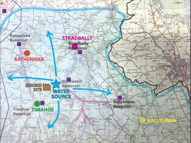
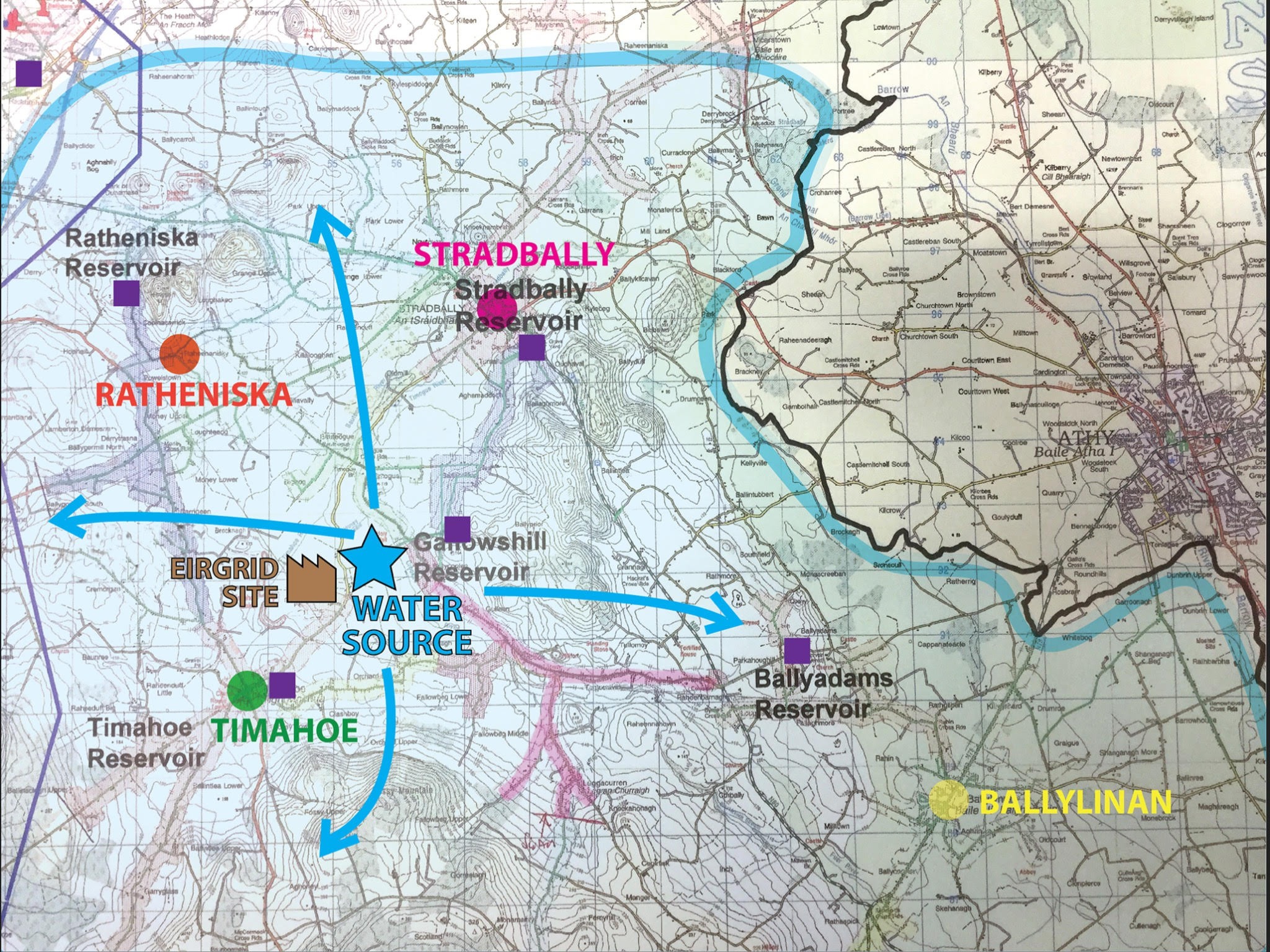
The Ratheniska-Timahoe-Spink (RTS) group, currently on day 169 of their blockade of the proposed Eirgrid Substation site, have released a map of the areas supplied by Tubriding Spring.
The map shows the proximity of the proposed substation to the water source. “There is no other water source for the residents in the area shown,” says a statement from the group issued today.
“Eirgrid in their latest statement say that the ‘stiff clay’ they say is under the site will prevent any possibility of contamination. Eirgrid now expect us to believe that this clay is OIL-PROOF.
“The aquifer underneath the proposed massive energy hub development at Coolnabacca is regionally important and has been classed as ‘highly vulnerable’.
“Pristine quality water bubbles naturally to the surface at the Turbading spring adjacent to the site of the proposed development at large volumes. 2,500,000 litres of water flow from the spring every single day, only a portion of which is pumped.
“Seven reservoirs which feed group water schemes reliably supply up to 10,000 Laois people with their water. The excess flow forms the Stradbally river which eventually joins the Barrow near Vicarstown.
“The first group water scheme to tap into this tremendous natural resource was the Ratheniska scheme, formed in 1973. A community project which brilliantly served the community’s needs for almost 50 years.
“Such is the excellent quality and reliable volume of the water, it has expanded to feed the water needs of a large swathe of Laois, including seven national schools, a significant number of farms, businesses, clubs and homes.”
The map shows the locations of the Spring, the massive Eirgrid energy hub development, the reservoirs, and the pipelines of the water.
“If your home is inside the circle, if you play for a club, your child attends school or you work within the map shown, then this information is relevant to you,” continued the statement.
“You should be aware of the imminent threat the giant Eirgrid superstation poses to YOUR water supply.
“The argument on this issue between community with local knowledge and experts, and developer is centred on the significance of the amount of risk the development poses to the aquifer.
“The developer themselves do not claim there is no risk to the aquifer. They cannot. Storing 600 tonnes of hot oil in vibrating steel vessels (what transformers actually are) in a compound with massive transfer of extremely high voltage electricity, prone to fire, over such a vulnerable resource, in our opinion constitutes a very significant risk.”
The RTS Group say that Eirgrid’s claims that this huge development does not pose a significant risk “must be set against a back drop of their behavior thus far” including their decision to start work on the project when planning permission hadn’t been granted.
“If you live within the area shown on the map, chances are when you turn your tap the water that comes out is from Tubrading Spring, which is fed by the aquifer that this massive development directly threatens if it goes ahead.
“There is no alternative supply. Just imagine what your life would be like if you could no longer use the water in taps as it has been polluted by Eirgrid. We believe that ANY risk to the aquifer is an unacceptable risk.”
SEE ALSO – RTS group set to up their campaign following meeting with Eirgrid

